Inspired to explore Korea’s mountains after watching the Korean variety show “Take a Hike!” on Netflix? Make time for a hike on your next trip to Korea. Seoraksan, Taebaeksan, Hallasan, the Yeongnam Alps, and Jirisan mountains, all featured in the show, offer something different in every season. In autumn, valleys glow with fall colors and silver grass covers the ridges. In winter, snow blankets the forests and peaks. Here are our recommended trails for autumn foliage and snowy winter hikes at these five renowned mountain destinations.
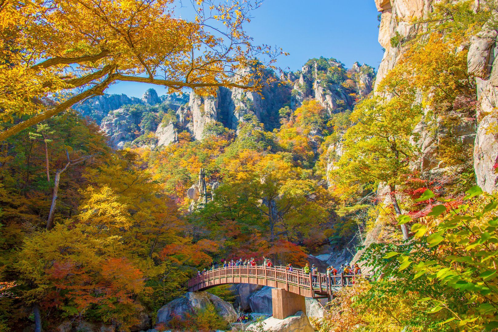
Designated a national park in 1970, Seoraksan Mountain remains one of Korea’s most beloved mountains. Home to Daecheongbong Peak, Korea’s third-highest peak, it is famous for its dramatic landscape of jagged rock formations stretching into the distance. It was also where the cast headed for their first winter hike.
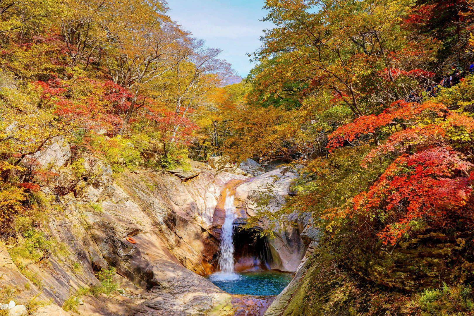
- [Autumn: Yongsopokpo Trail] Starting at Yaksuteo Information Center, this 3.2-kilometer trail leads to Yongsopokpo Falls and takes about an hour one way. From mid- to late October, colorful leaves frame dramatic rock formations, bringing to mind a traditional East Asian landscape painting. The path follows a gentle route along the valley, with plenty of wooden boardwalks that make the walk manageable for children and older visitors.
- Getting There: Dongseoul Terminal in Seoul (2 hours 30 minutes by intercity bus)→Osaek Bus Terminal in Yangyang (10 minutes on foot)→Yaksuteo Information Center
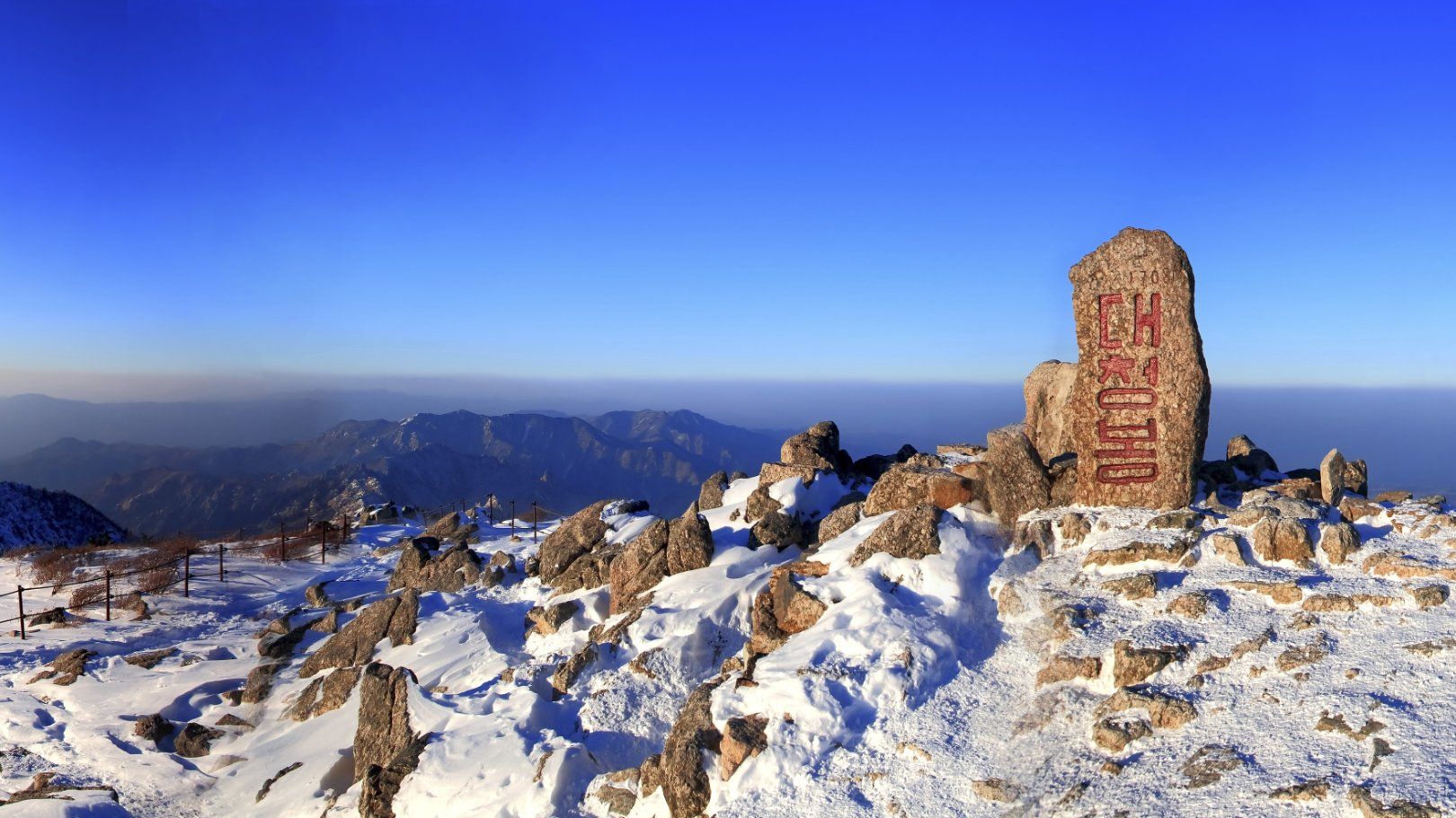
- [Winter: Daecheongbong Trail] This 5-kilometer trail is the fastest way to reach Seoraksan Mountain’s highest peak, taking about 4 hours one way. At the summit, you’ll be rewarded with views of ridges covered in snow and the feathery ice crystals that form on trees when airborne moisture freezes in subzero temperatures. The steep stone steps make for a demanding climb, so pace yourself along the way.
- Getting There: Dongseoul Terminal in Seoul (2 hours 30 minutes by intercity bus)→Osaek Bus Terminal in Yangyang (15 minutes on foot)→Namseorak Information Center
[Seoraksan National Park]
- Key attractions: Seoraksan National Park (Southern Section), Daecheongbong Peak, Yongsopokpo Falls, Seoraksan Cable Car, Ulsanbawi Rock, Sinheungsa Temple, and more
- Visit website (English, Japanese, Chinese)
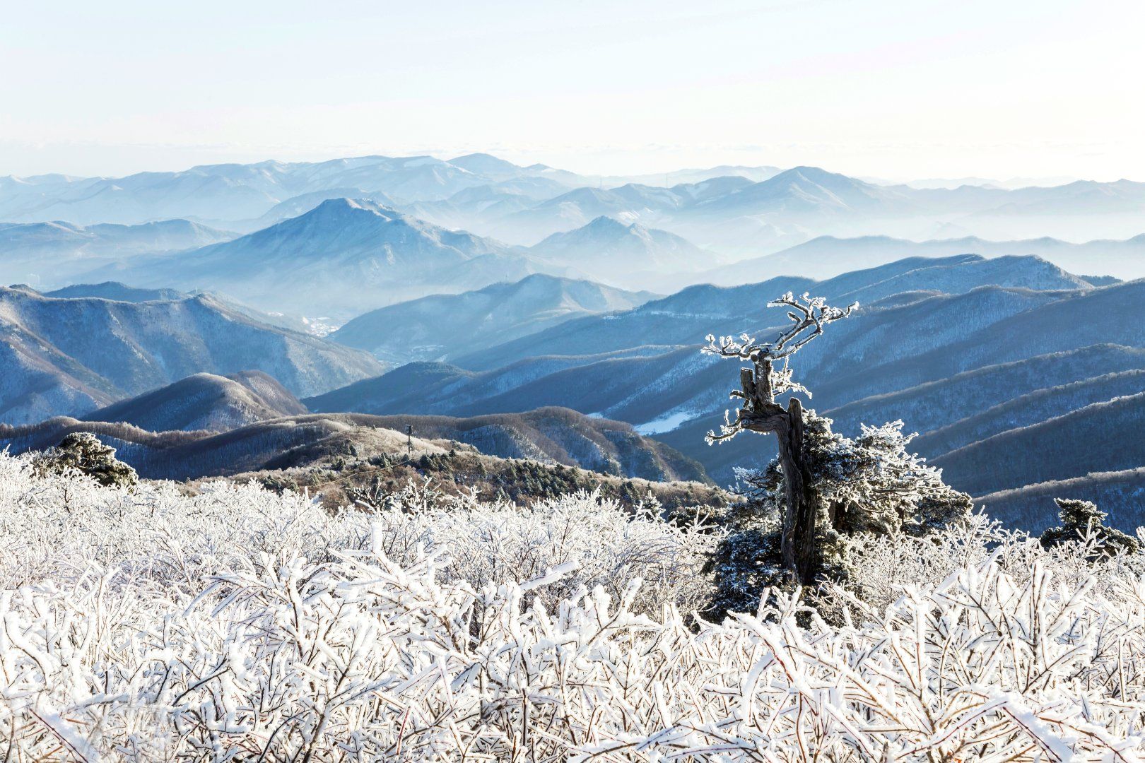
Taebaeksan has long been revered as a sacred mountain, with ancient altars near its summit where rituals honoring heaven were held. Rising over 1,500 meters above sea level, it is an easier climb than its height might suggest, thanks to its high trailheads and gentle dirt paths. Its snowy scenery is so spectacular that the mountain hosts the Taebaeksan Mountain Snow Festival every January.
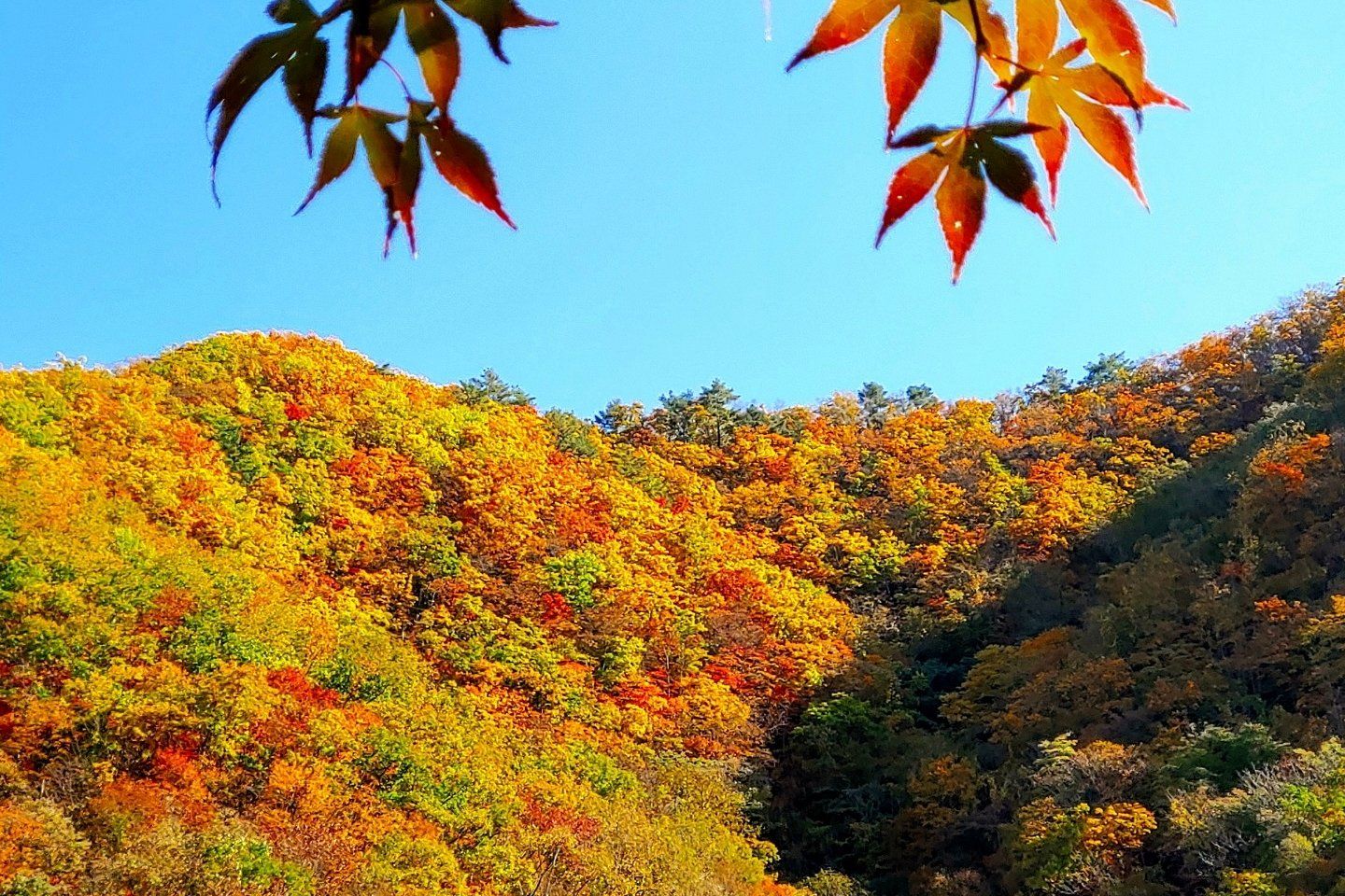
- [Autumn: Baekcheongyegok Trail] This 5.1-kilometer trail takes about 2 hours 30 minutes one way, passing through Baekcheongyegok Valley—the world’s southernmost known habitat of Manchurian trout—before climbing to Munsubong Peak. The path follows the pristine valley through dense broadleaf forests, with views of autumn colors spreading across the mountains all along the way.
- Getting there: Dongseoul Terminal in Seoul (3 hours 30 minutes by intercity bus)→Chunyang Bus Terminal in Bonghwa (30 minutes by taxi)→Hyeonbulsa Temple Parking Lot
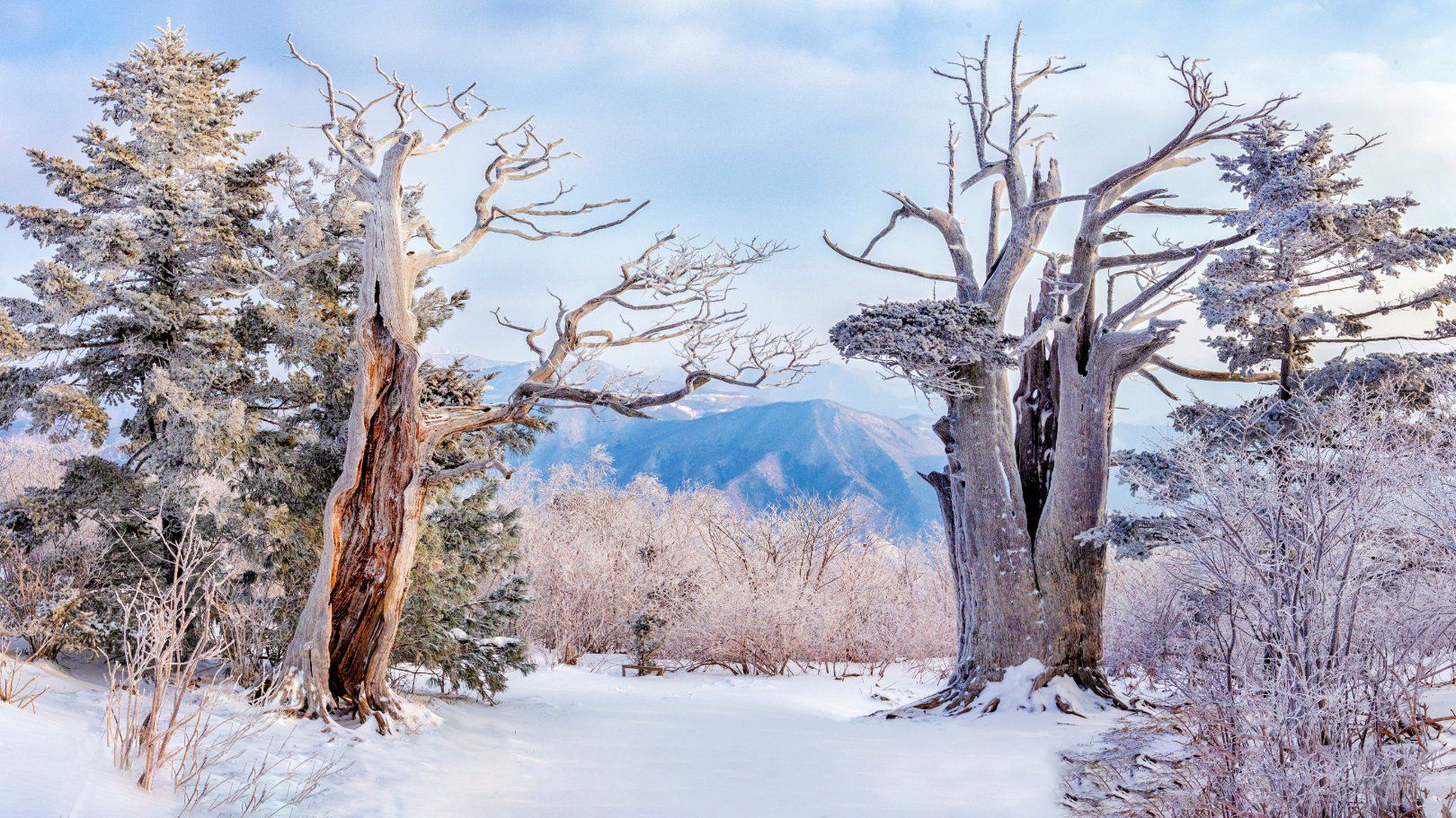
- [Winter: Yuilsa Trail] This 7.5-kilometer trail takes about 4 hours one way, passing centuries-old yew trees on the way to Cheonjedan Altar. At Janggunbong Peak, roughly halfway along the route, the spreading yews are so resilient that a Korean saying describes them as “living for a thousand years and standing for another thousand after death.” On a clear day, views from Cheonjedan Altar stretch all the way to the East Sea. Sunrise is also spectacular here.
- Getting there: Dongseoul Terminal in Seoul (3 hours by intercity bus)→Taebaek Bus Terminal (15 minutes by taxi)→Yuilsa Temple Parking Lot
- Tip: Wear traction cleats in winter, as many sections of the trail are icy.
[Taebaeksan National Park]
- Key attractions: Taebaeksan National Park, Cheonjedan Altar, Taebaeksan Mountain Snow Festival, Taebaek Coal Museum, Yuilsa Temple, Manhangjae Pass, and more
- Visit Website (English, Japanese, Chinese)
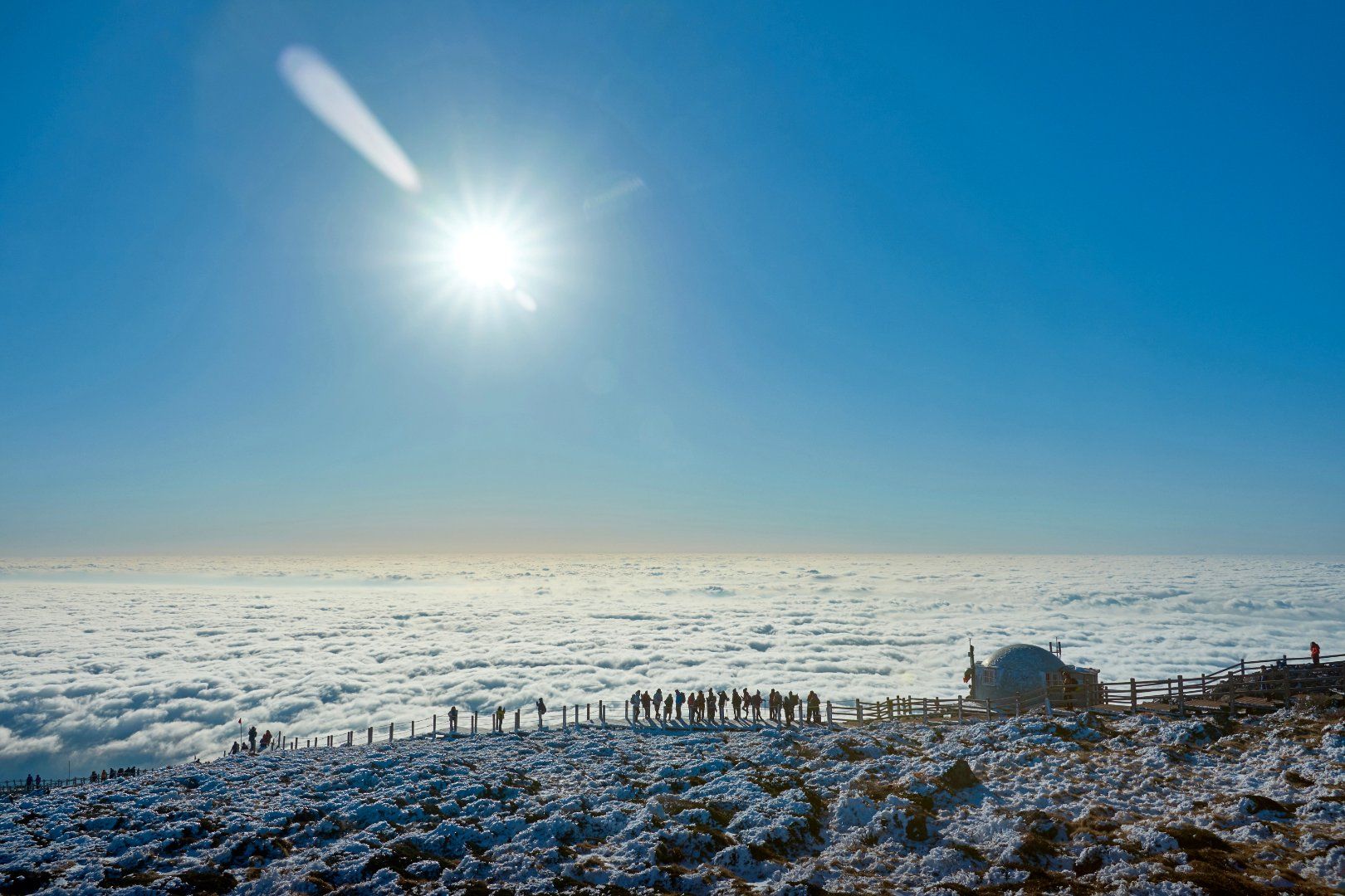
Hallasan, Korea’s highest mountain, stands at the heart of Jeju, an island formed by volcanic activity. The mountain is part of the UNESCO World Heritage site “Jeju Volcanic Island and Lava Tubes.” Baengnokdam Lake, the volcanic crater lake at its summit, is a national landmark featured in videos that accompany the Korean national anthem.
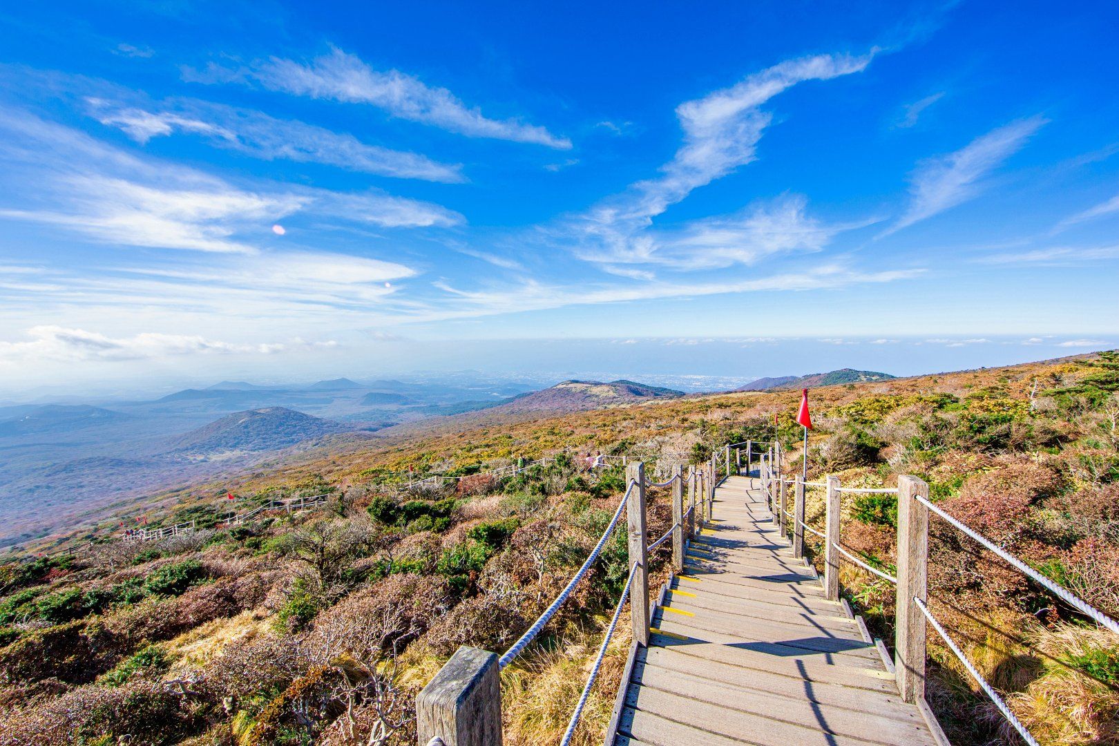
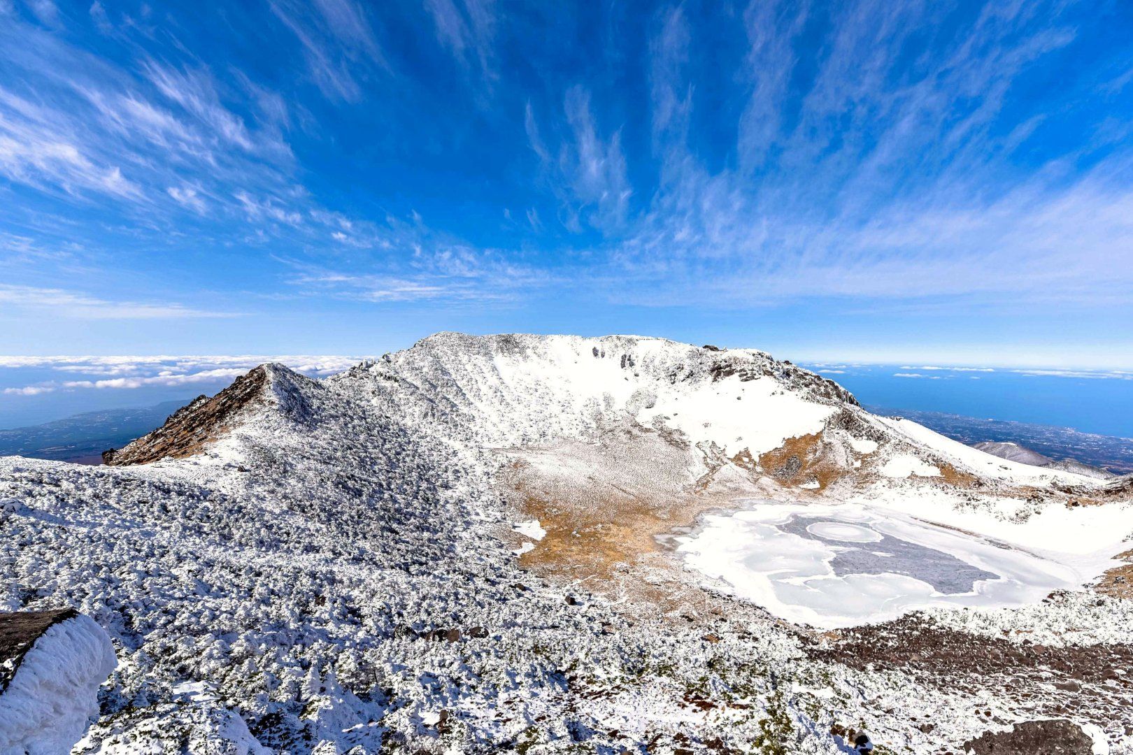
- [Autumn: Yeongsil Trail] For the quickest way to enjoy Hallasan Mountain’s autumn foliage and highland silver grass, take this 5.8-kilometer trail, which takes about 2 hours 30 minutes one way. The colorful leaves around the Yeongsilgiam Cliff are among Hallasan Mountain’s best autumn sights. At Witseoreum Volcanic Cone, 1,700 meters above sea level, vast fields of silver grass await. Aside from a few stretches of stairs, the trail is mostly level and manageable for beginners.
- Getting there: Jeju International Airport (45 minutes by taxi)→Yeongsil Ticket Office
- [Winter: Seongpanak–Gwaneumsa Trail] Of Hallasan Mountain’s seven trails, this is the only route that offers views of the snow-covered Baengnokdam Lake. It combines the Seongpanak and Gwaneumsa trails for a total distance of 18.3 kilometers and takes about 9 hours to complete. The standard route is to ascend via Seongpanak Trail (9.6 km) on the eastern side of the mountain and descend via Gwaneumsa Trail (8.7 km) to the north. The long trek through snow makes this route best suited to experienced hikers who are accustomed to long-distance hikes.
- Getting there: Jeju International Airport (50 minutes by express bus)→Seongpanak [West] Bus Stop
- Tip: Book in advance through the Hallasan Trail Reservation System to hike the Seongpanak and Gwaneumsa trails.
[Hallasan National Park]
- Key attractions: Hallasan National Park, Baengnokdam Lake, Gwaneumsa Temple, Yeongsil Trail, Witseoreum Volcanic Cone, 1100 Highland, and more
- Visit Website (English, Japanese, Chinese)
- Hallasan Trail Reservation System (English, Japanese, Chinese)
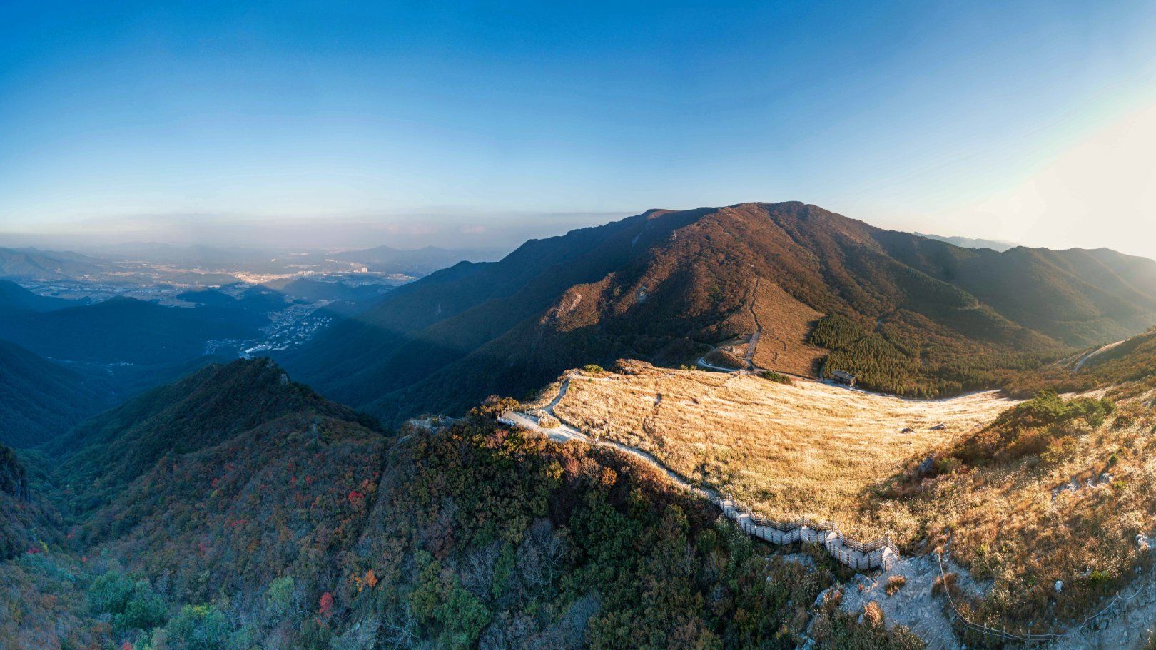
The Yeongnam Alps comprise seven mountains in southeastern Korea, all over 1,000 meters above sea level. The area takes its name from its scenic resemblance to the European Alps and is popular with hikers who enjoy linking several peaks in a single hike.
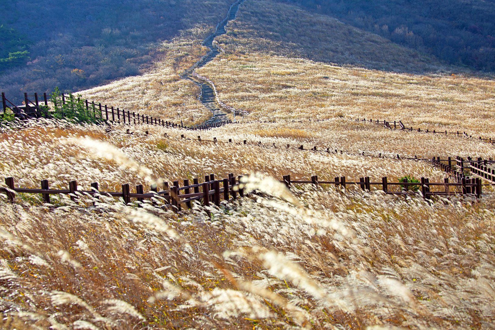
- [Autumn: Ganwolsan–Sinbulsan–Yeongchuksan Three-Peak Trail] This 12-kilometer hike takes about 6 hours one way and is considered one of the best routes in the Yeongnam Alps. With silver grass fields covering a vast 7.1 million m², the area is a favorite among hikers in autumn. Starting at the entrance to Ganwoljae Pass, the route crosses Ganwolsan, Sinbulsan, and Yeongchuksan mountains before descending toward Tongdosa Temple. From late September to mid-October, golden silver grass stretches along the ridges in a picture-perfect autumn scene.
- Getting there: KTX Ulsan Station (15 minutes by taxi)→Yeongnam Alps Complex Welcome Center
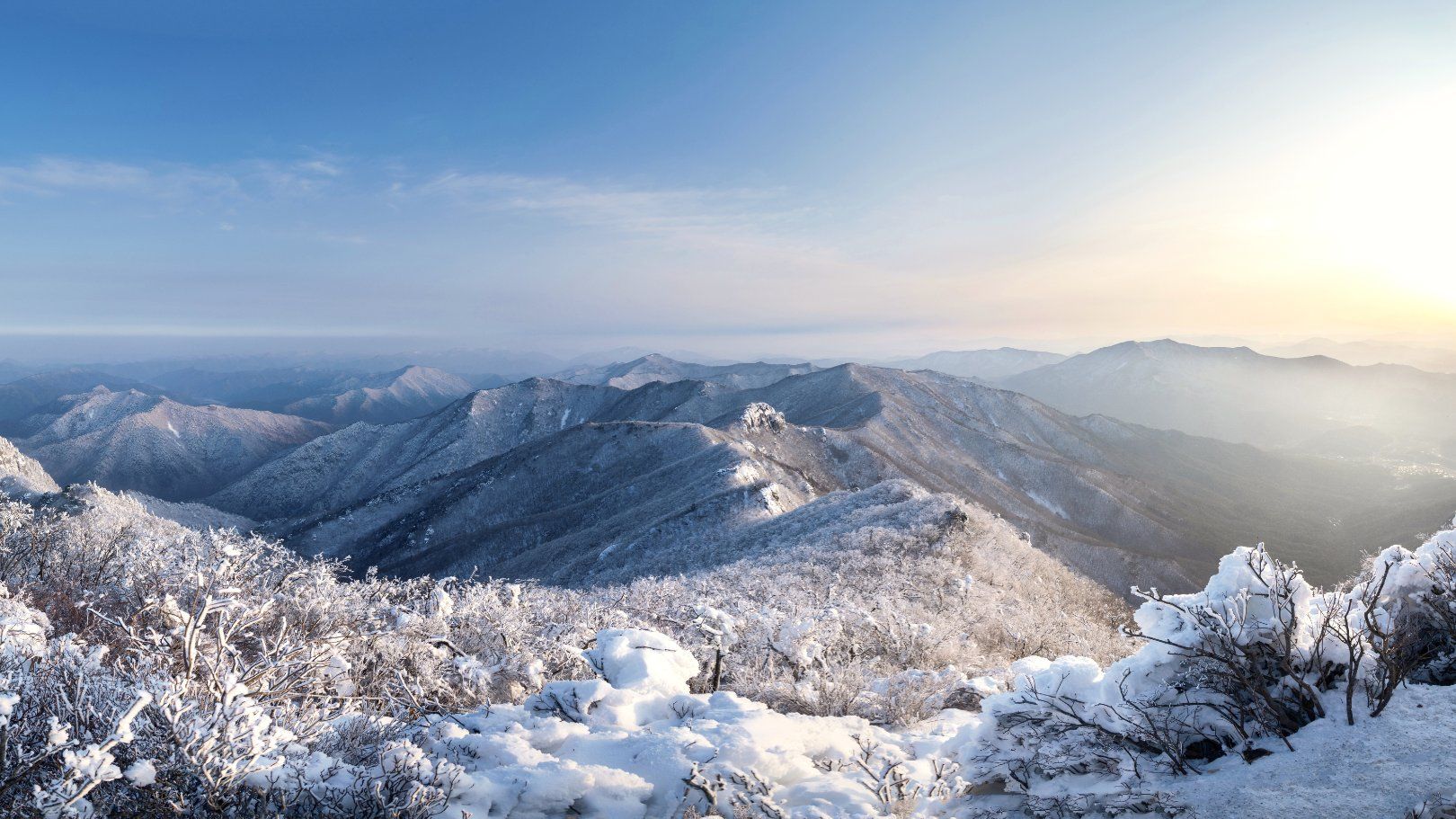
- [Winter: Gajisan–Seongnamsa Trail] Starting at Seongnamsa Temple, founded some 1,200 years ago, this hike climbs Gajisan Mountain, the highest peak in the Yeongnam Alps, and takes about 5 hours 30 minutes round trip. The temple’s quiet winter setting and spectacular snowy views near the summit offer a chance to experience both Korean Buddhist culture and the mountain landscape.
- Getting There: KTX Ulsan Station (15 minutes by taxi or 40 minutes by local bus)→Seongnamsa Temple
[Yeongnam Alps]
- Key attractions: Yeongnam Alps, Ganwolsan Mountain, Sinbulsan Mountain, Yeongchuksan Mountain, Gajisan Mountain, Tongdosa Temple, Seongnamsa Temple, and more
- Visit Website
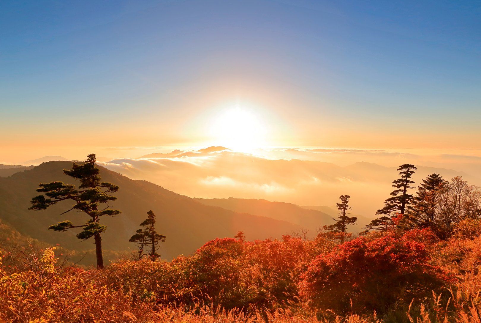
Designated Korea’s first national park in 1967, Jirisan Mountain spans three regions: Gyeongsangnam-do, Jeonbuk State, and Jeonnam-Gwangju Special Metropolitan City. The national park alone covers an area roughly two-thirds the size of Seoul. Streams wind through deep valleys between some 20 ridges, offering hikers a glimpse of nature at its most unspoiled.
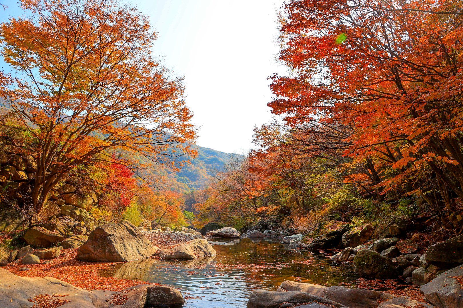
- [Autumn: Piagol Trail] This 8.8-kilometer trail takes about 5 hours one way, with autumn colors at their peak from mid-October to early November. The first stretch offers views of crystal-clear streams and richly colored foliage. Farther along, steep rocky paths and stairs make for a more challenging and exhilarating climb.
- Getting there: Seoul Nambu Terminal (3 hours 15 minutes by intercity bus)→Gurye Bus Terminal (25 minutes by taxi)→Yeongoksa Temple / Piagol Valley
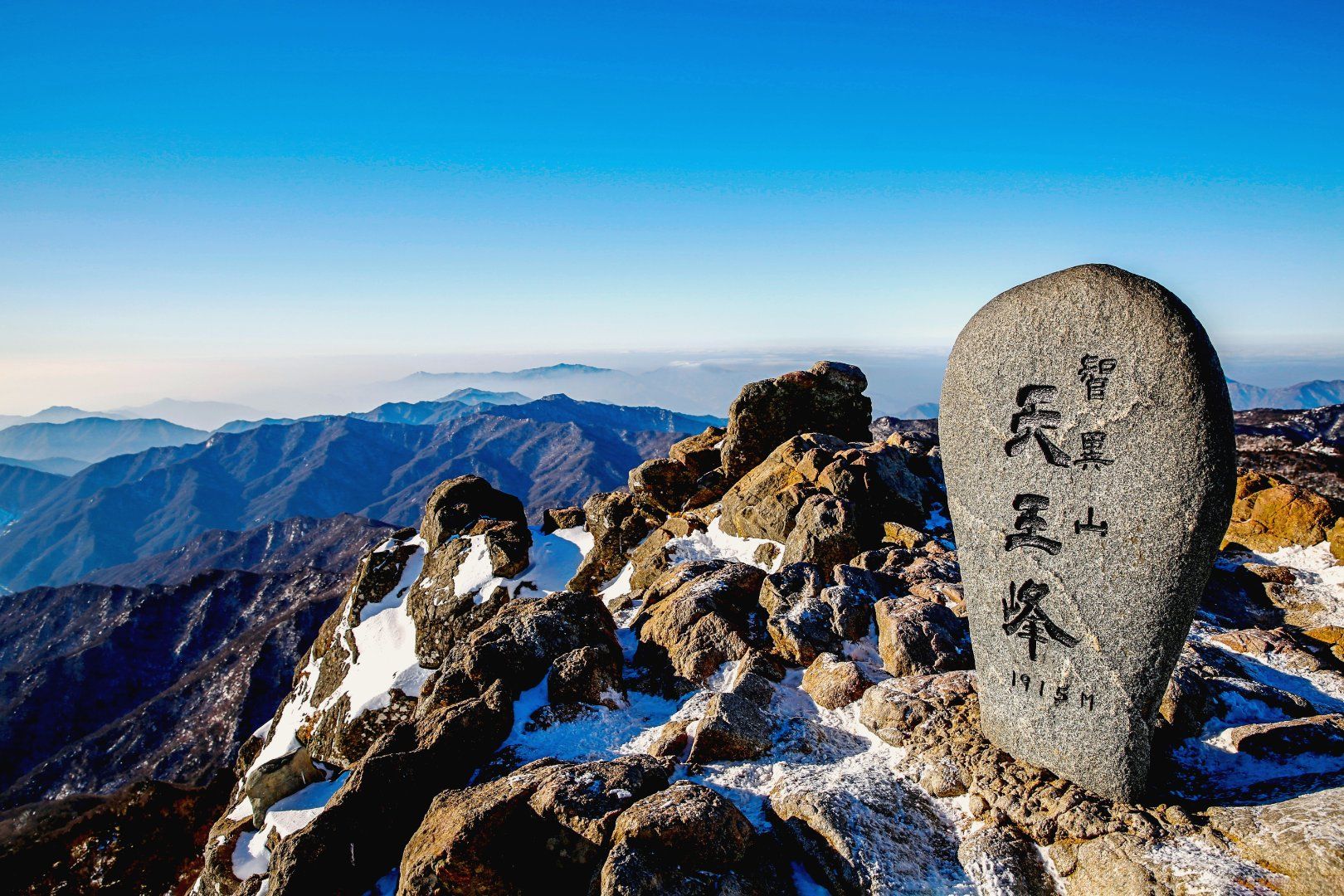
- [Winter: Baengmudong Trail] This 7.5-kilometer trail climbs from Baengmudong Information Center to Cheonwangbong Peak, Jirisan Mountain’s highest summit, taking about 5 hours 30 minutes one way. Every January 1, hikers gather at the summit to watch the first sunrise of the year. In winter, thick snow blankets ridge after ridge, creating a breathtaking scene of rolling white waves.
- Getting there: Dongseoul Terminal in Seoul (4 hours by intercity bus)→Baengmudong Intercity Bus Stop in Hamyang (10 minutes on foot)→Baengmudong Information Center
- Tip: Book online in advance if you plan to stay overnight at Jangteomok Shelter along the route.
[Jirisan National Park]
- Key attractions: Jirisan National Park, Piagol Valley, Yeongoksa Temple, Cheonwangbong Peak, Hwaeomsa Temple, Ssanggyesa Temple, and more
- Visit Website (English, Japanese, Chinese)
- Book a stay at Jangteomok Shelter (English)
- Q. Do I need a reservation to hike in a national park?
- A. Most national park trails are free to use, with no reservation required. However, you’ll need to reserve a spot on Hallasan Mountain’s summit trails (Seongpanak and Gwaneumsa) through the [Hallasan Trail Reservation System]. Overnight stays at mountain shelters must be booked through the [Korea National Park Service]. During peak season, spots often fill up as soon as reservations open, so try to book right away.
- Q. What should I pack for an autumn or winter hike?
- A. Bring hiking boots with good grip, water, snacks, windproof clothing, and a power bank. For winter hikes, warm layers, gloves, traction cleats, and gaiters are essential. Most equipment rental shops are located near trail entrances.
- Q. When is the best time to see autumn foliage or snow in national parks?
- A. You can generally enjoy autumn foliage from mid-October to mid-November and snowy landscapes from December to February. The timing varies with each mountain’s location, elevation, and temperatures. Before you set out, check the weather forecast and the Korea National Park Service website for current conditions and whether trails are open.
- Q. Where can I find more information about each trail?
- A. Visit the Korea National Park Service website and choose a park from the National Park Hiking menu. You’ll find details on trail difficulty, hiking hours, how to get there, and more.
- - Original article by Lee Su-Lynn / Translated by KTO
- - Photos by Korea Tourism Organization, Korea National Park Service, Jeju Tourism Organization, Gurye-gun Office, ClipartKorea