- SEOUL
- 33 °C / 26 °C


News & Announcements
-

N KTO Offers 50% OFF Tourist Taxi & City Tour Bus Services for International Travelers
07/30/2026 -
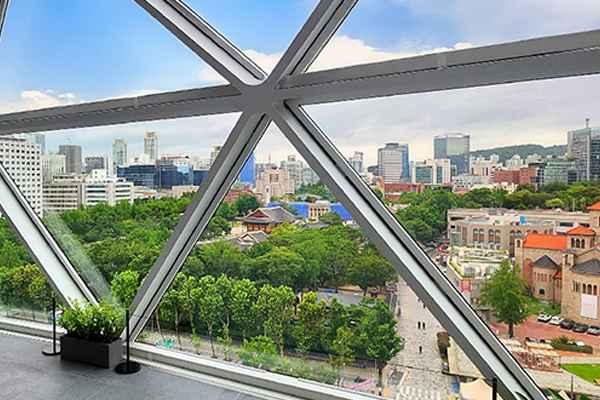
N Sky Observatory, the Latest Attraction in the Heart of Seoul
07/29/2026 -

N 2026 World Island Exhibition Yeosu Korea: A Special Journey to 365 Islands
07/27/2026 -

N “Begin to Hear Korea” with Park Bo-Gum
07/20/2026


![[HYUNDAI DEPARTMENT STORE] Visit and Receive! Welcome Gifts + 5% OFF Coupons](/public/images/2026/06/12/880a0b37c83e4565a0527ba25d9c7a9d.png)


![[Korea Beyond Seoul ①] Start Your Daegu & Gyeongbuk Trip at Daegu International Airport](https://tong.visitkorea.or.kr/cms/resource/43/4070243_image2_1.jpg)